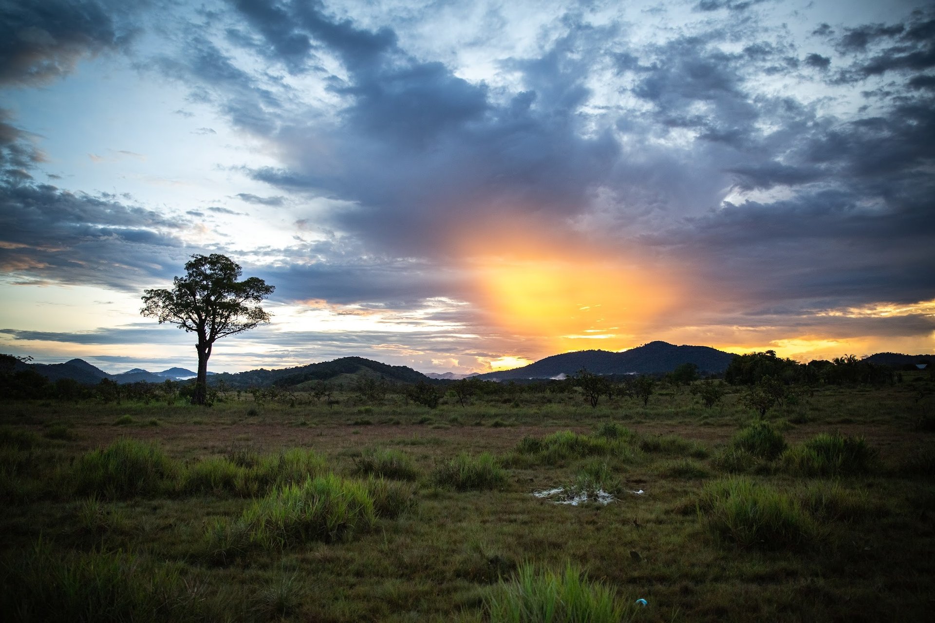
The Swidden Plot seeks to better understand the drivers and implications of fine-scale land-use and land-cover change processes on human populations, biodiversity, and ecosystem services within indigenous peoples-influenced landscapes of the tropics, and more specifically, of Guyana. While various models have been developed for understanding land-use and land-cover change, most have been retroactive in nature and lack applicability to local scales.
We are interested in whether ecosystem services associated with indigenous peoples’ livelihoods follow spatial distribution patterns that fit popular geographical models. Further, we aim to better understand the drivers of tropical forest cover change, which is crucial for the long term protection of biodiversity and associated ecosystem services essential to the livelihoods of indigenous peoples. Utilizing geospatial information sciences technologies (GIST), including personal remote sensing tools and methods, we strive to develop world-class research and educational programs that address these gaps in knowledge.
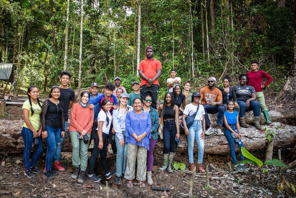
At the core of this project is a collaboration between graduate and undergraduate students, local people, and the PI, Dr. Cummings. Together, we work to examine, extend, and redefine theories and methods surrounding the measurement, interpretation, and analysis of land-use and land-cover change outcomes for forest-dependent peoples and the wildlife with which they are associated.